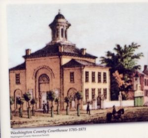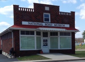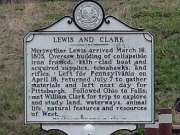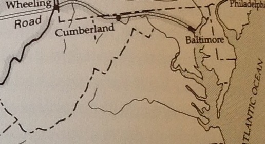
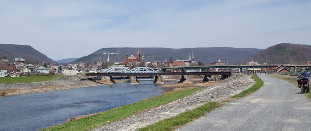
Back in the 1800s, Cumberland was second only to Baltimore as the wealthiest, most vibrant city in Maryland, so it became known as the Queen City. Its wealth and industry came mainly from the Cumberland Narrows. See the gap there, on the left in the picture below? That’s it, the Cumberland Narrows, the best way through the Alleghenies. A way through not only for travelers and settlers, but also a commercial route to bring wheat and other produce from west of the mountains to East Coast markets.
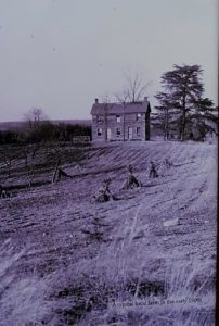
It wasn’t always called the Queen City. Back in 1755, upon arriving at Fort Cumberland, Charlotte Bristow Browne, a nurse there to tend to British soldiers at the fort, called it “the most desolate place I ever saw.”
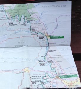
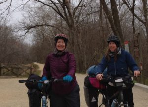
Just one of Cumberland’s many incarnations. Angela and I have arrived here in a celebratory mood, since today in part the city is known for being the nexus of the C&O Canal Trail and the Great Allegheny Passage (GAP) Trail. We’ve hit the halfway point. Only 175 miles to go to reach Pittsburgh.
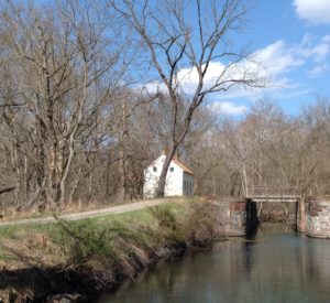
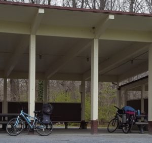
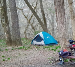 During the past two days, we entered one of the most remote, off grid, portions of the trail.
“There’s just not a lot out there,” A Canal Steward informed us.
No place to stay but the tent. No place to eat but at the camp stove. After snow earlier in the week, we’ve suddenly landed in sunny, 80+ degree days. Even the bugs are caught by surprise, and haven’t yet hatched to become a nuisance. (This stretch of trail is typically the buggiest of the whole 354 mile journey.)
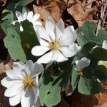
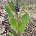
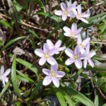
Our biggest dilemma in setting up the tent has been how not to damage the Spring Beauty, Bluebell, and Bloodroot wildflowers in the process.
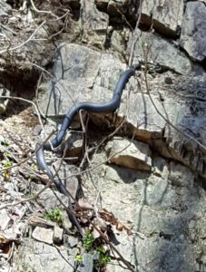 Oh, yes, and there’s something else out here that soaks up the sun. So far two of these slitherers have materialized in the grass as I zipped past. An energy boost to be sure, helping me pedal that much faster.