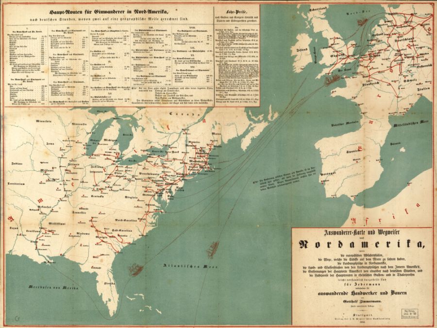
I begin the story of my great-great grandfather Michael Harm in 1848, when he lived in Freinsheim, Germany in the Rhineland-Palatinate. (Back then, Germany was not yet Germany — it was still broken up into smaller nation-states.)
Among my writing friends who have read the first chapter, “A map would help” is a common refrain. So I set to work and browsed around the Internet, and came up empty-handed, until it occurred to me to contact my cartographer friend John Loacker.
He recommended two great options. The Kroll Antique Map Company, and the U.S. Library of Congress.
I found this map in the Library of Congress and got so excited. It’s published in 1853, just four years before Michael Harm emigrated. Called “Auswanderer-karte und Wegweiler nach Nordamerika,” it was published specifically for craftsmen and farmers emigrating from Europe to North America. It lists destinations and costs. I had to send off $22.50 to the Library of Congress to get it on CD, but wow!

