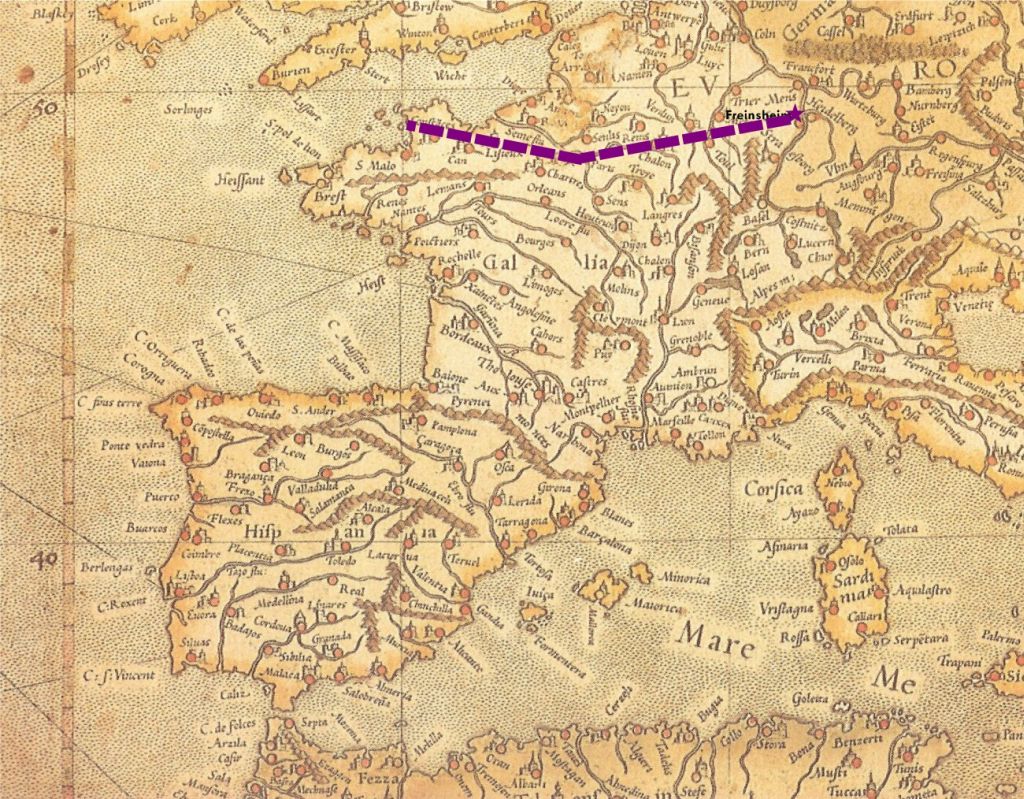
When in Germany, I visited the Bremerhaven Auswandererhaus, where many genealogist types do research. A large number of Germans left for the Americas (New Zealand and Australia, too) via the northern ports at Hamburg and Bremerhaven. However, it’s not the route my ancestor Michael Harm took from Freinsheim in the Rhineland-Palatinate. He went through the French port at Le Havre, and he wasn’t the only one. According to Freinsheim emigration records, many of its citizens took a similar route in the 19th century.
 The map here was made in 1596, so it’s a far cry from 1857 when it comes to locations of cities and borders, but nonetheless, I provide it here with Freinsheim inked in, showing also the usual route through Paris to Le Havre, in order to demonstrate how the French port of departure made sense geographically. It also made sense politically. Many young men who left snuck out of the country, since they were liable for military duty in the Bavarian-controlled Palatinate of the day. It seems the French were willing to look the other way when it came to the paperwork. Hence, consider Le Havre, France another place to look for your ancestors emigrating from southwestern Germany.

3 responses to “Emigration geography”